South Island Day 11 : 3 April 2018
Cloudy, clearing, fine, 20°C
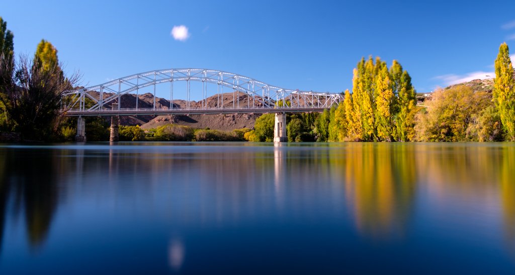
Awake at 6am to a cloudy sky, but fine 2 hours later. Got up at 8:30am, had breakfast then packed up the van. Left the camp at 9:30am, drove into Alexandra to take a couple of photos of the Clutha River and the old bridge, then we headed across the bridge and south towards Roxburgh.
As you climb up out of Alexandra the landscape becomes quite surreal, with large fields with large rocks scattered across them. It is hard to know if these are rocks on top of the landscape, or if we are seeing the top of jagged peaks poking through the soil. After about 30kms of this landscape the road descends back down into the fertile fields just north of Roxburgh and then into the town itself. We detoured across the Clutha River for a look at the current ( version 3 ) bridge, along with version 1 and version 2 bridge remains.
Then back onto State Highway 8 and south again. Most of the way along the road from Roxburgh south we had the Clutha Gold Trail cycle track shadowing us, which looks like a nice ride which partly follows the old railway embankments in the area.
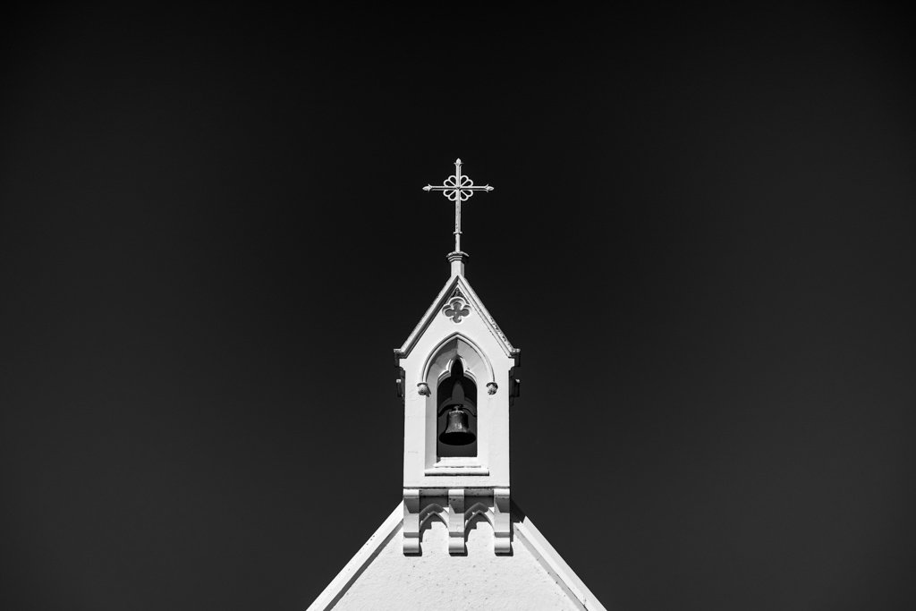
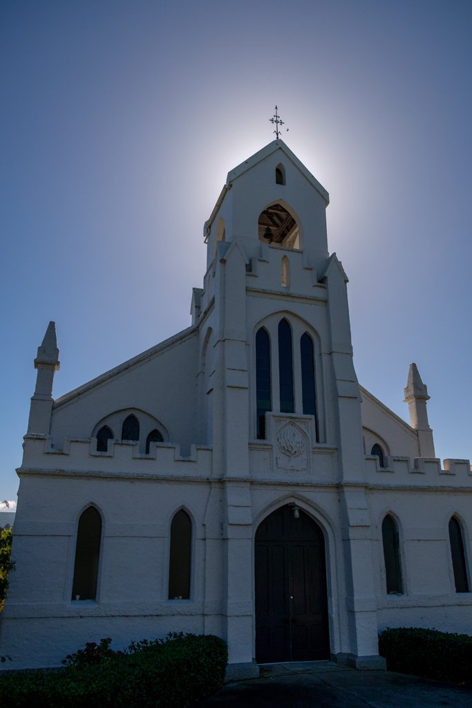
We stopped in Lawrence ( the site of NZ's first gold discovery in 1861 ) at 11:30am and had a look around the town. It seems to be over supplied with Churches and Bank Buildings, both a reflection of the gold rush times I guess.
Then onwards again back down across the plains to State Highway 1 and then north to Milton for some lunch at a little cafe at 1pm. I am trying to fit in as many cheese rolls to my diet as I can while I am down in this part of the world, so I had a couple more today.
Onwards again then across the Taieri Plains then up and over into Dunedin. Unfortunately the only way to get from South of Dunedin to North of Dunedin is to crawl through the centre of town, so after what seemed like 1/2 hour of traffic lights and one way streets we climbed out the other side and then down to Warrington, which was our destination for the night.
We found the free camp ( thanks Dunedin City Council ) and parked up at 3pm. This camp is located on a wide sand spit between the sandy beach on one side and an estuary on the other. The camp area itself has some permanent toilets as well as a few portaloo's scattered around, and in the morning we counted 60 vehicles parked up for the night.
We went for a walk to the beach ( the south of the South Island as some amazing sandy beaches ) then to the estuary and then back to the van to relax.
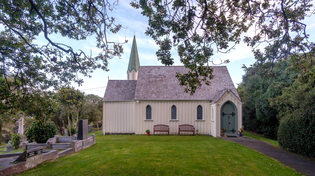
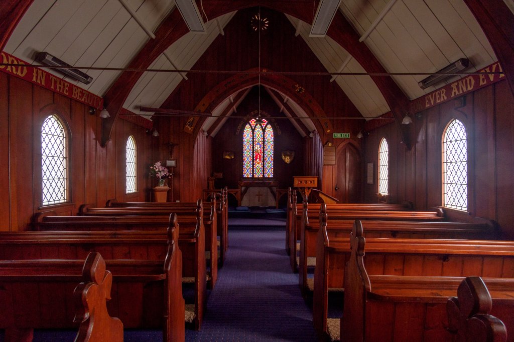
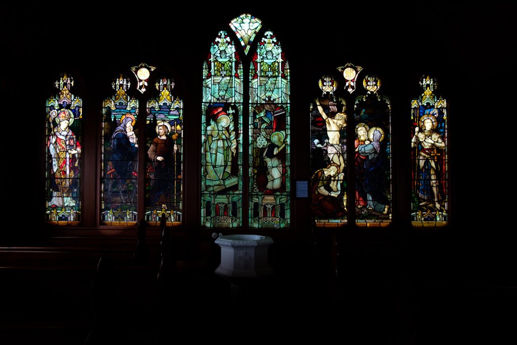
Out again at 5:30pm for the short drive up to St Barnabas Church ( also spelled Barnabus on some maps ) on the hill overlooking Warrington to shoot the sunset. St Barnies is a stunning little country church, with one of the biggest series of stained glass windows I have seen in a church this size, and it is on the back wall of the church as well. The windows were installed in 2 stages, the central window in 1896, and the other 4 windows in 1935. The story goes that the later windows were designed for a church in Brisbane to commemorate the soldiers from the First World War, but because the windows were made in Germany they were rejected by that church and purchased for the little church in Warrington instead.
The sunset was nice and it was very pleasant standing in amongst the graveyard watching the darkening sky. At 7pm we headed back to camp for tea and relaxation.